1 / 11
Laugavegur Trail
Southern Highlands, Iceland
Map
Directions
Save
Trail GPX file
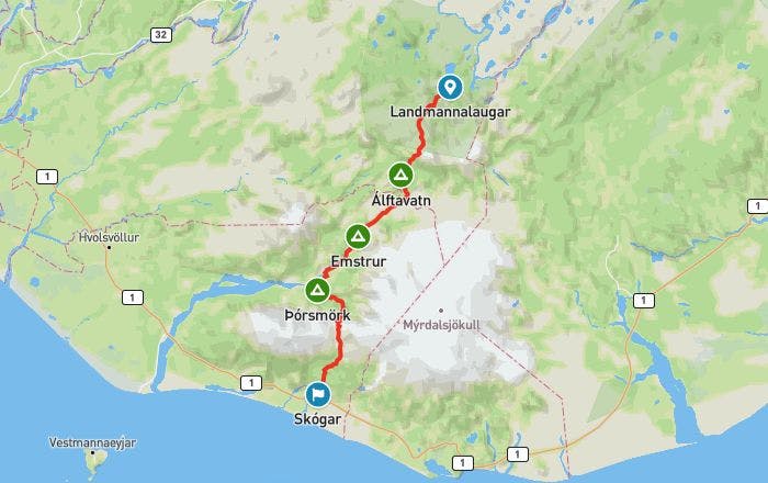
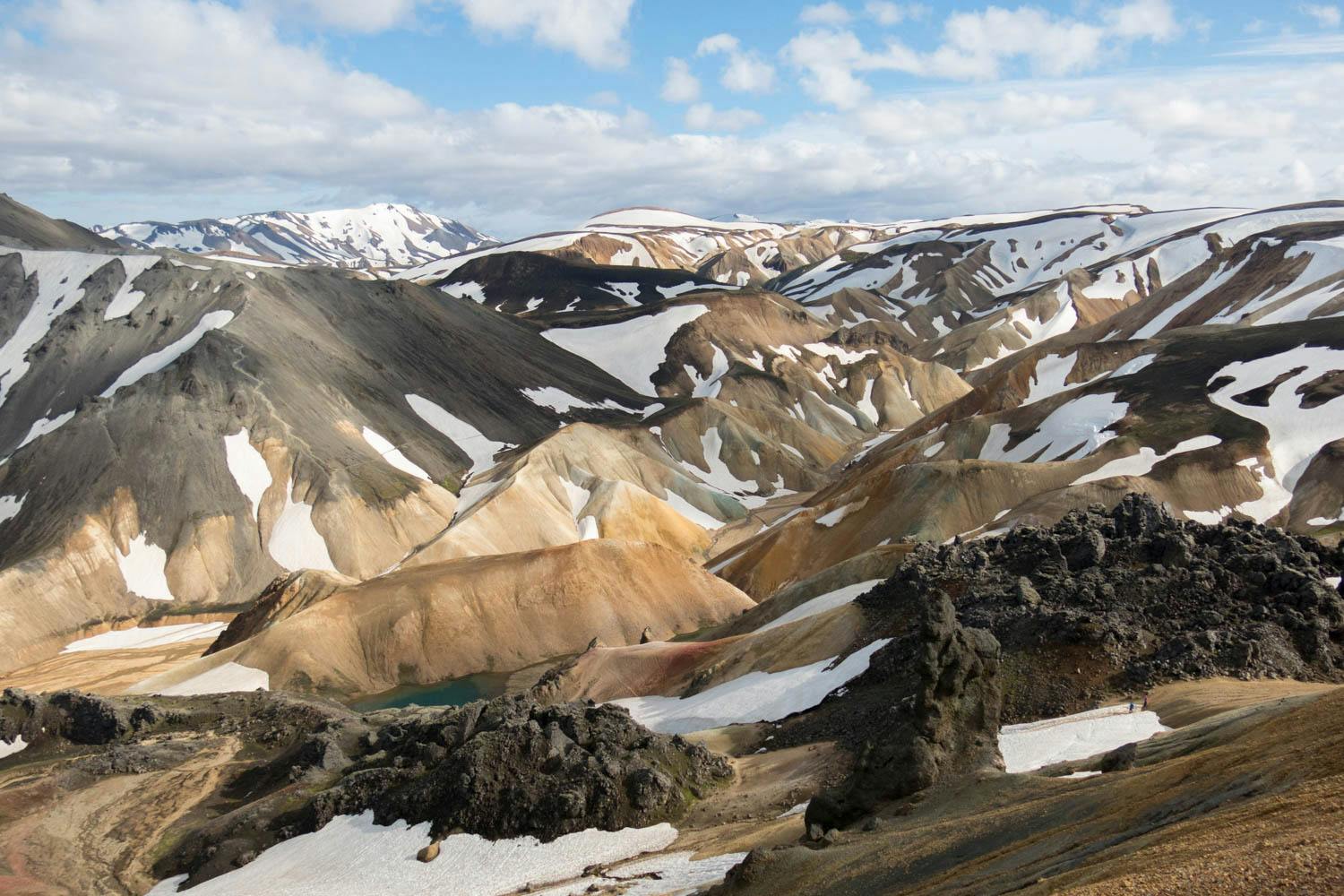
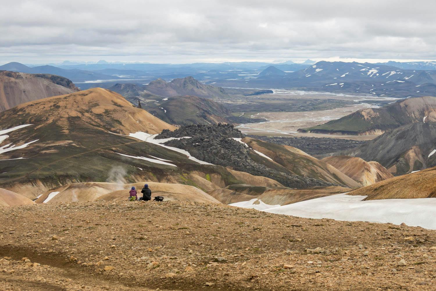
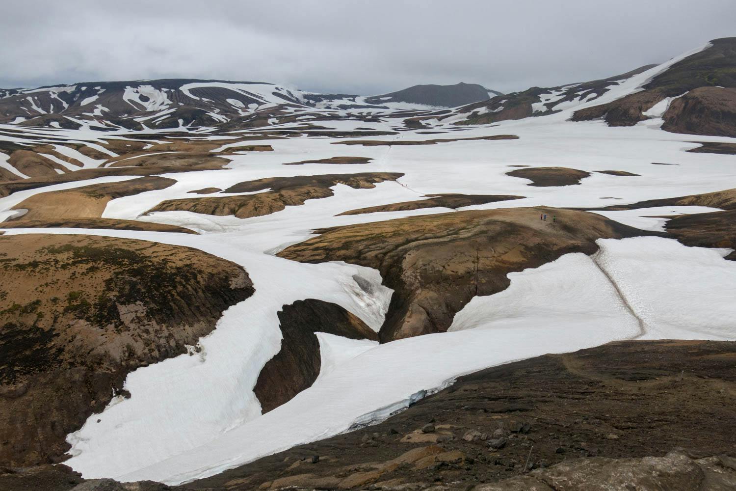
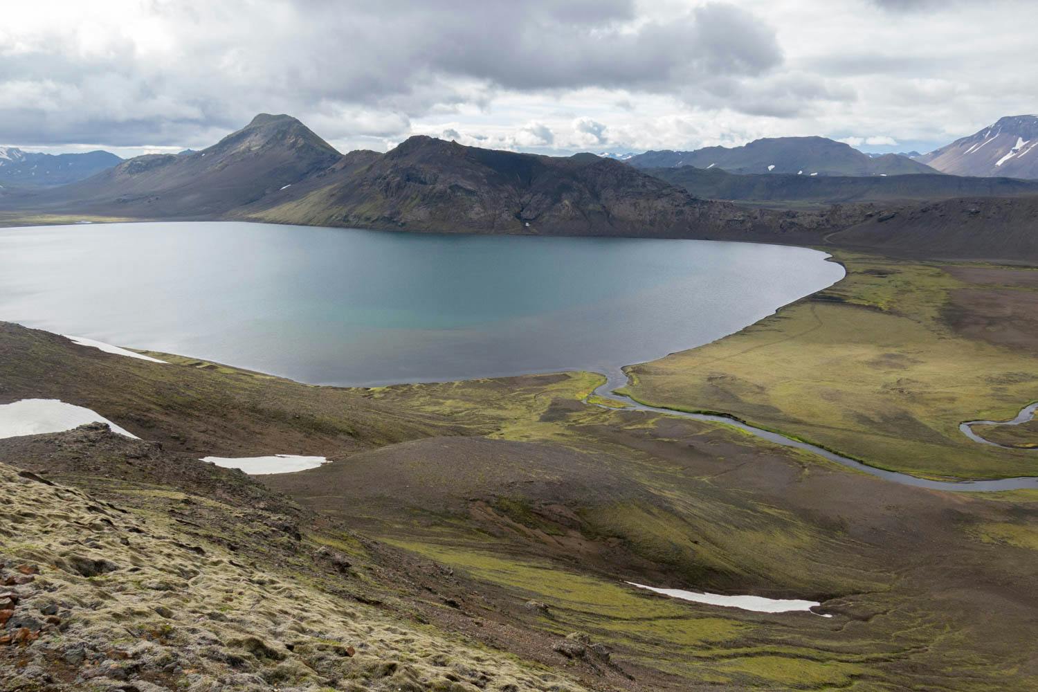
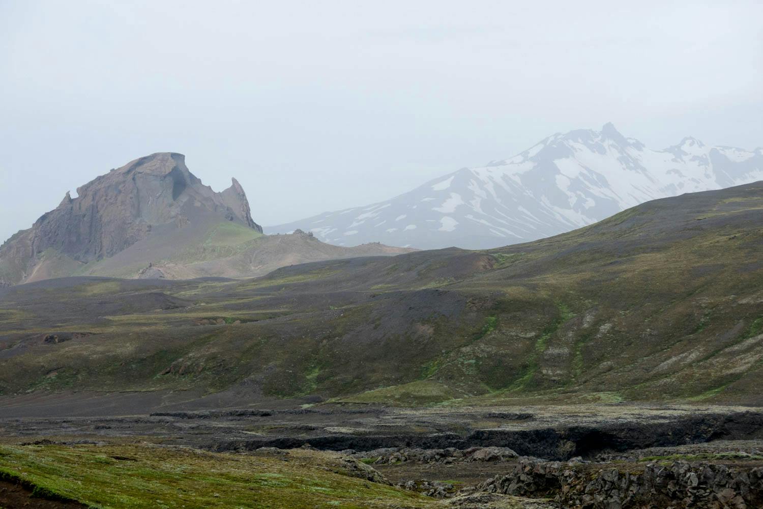
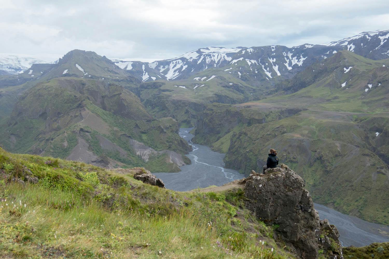
Stretching from the rhyolite mountains of Landmannalaugar to the lush green valley of Þórsmörk, the Laugavegur Trail offers a stunning variety of landscapes that seem to belong to another planet. It’s no wonder that National Geographic named it as one of the 20th best trails in the world.
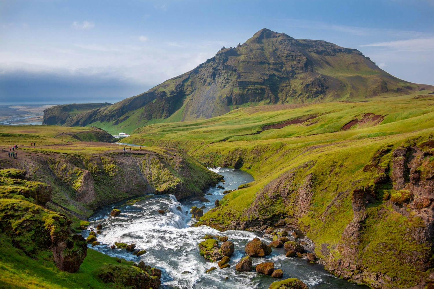
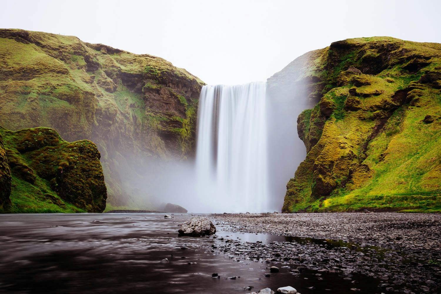
Many choose to spend an extra day hiking the Fimmvörðuháls trail from Þórsmörk to Skógar. This 15.7 mi route includes a steep ascent between two glaciers followed by a slow descent to the Skógar coastline, and the views will not disappoint.
Length
48.4 mi
Elevation Gain
7,736 ft
Best Time to Hike
Mid Jul - Mid Sep
Duration
4-5 days
Difficulty
Challenging
Trail Type
Point to Point
When To Go
The trail is generally open from June 25 to September 25. However, trail access varies from year to year depending on weather and snow conditions, so be sure to check with the Icelandic Road Authority to make sure the roads to Landmannalaugar are open.
How To Get There
The Laugavegur Trail is located in the Southern Highlands of Iceland, around 111.8 mi east of Iceland’s capital Reykjavik (which has an international airport).
Most people hike the trail from north to south. In this case:
•
The trail starts in Landmannalaugar. To get to Landmannalaugar from Reykjavik, there are several bus companies that offer scheduled bus fares, including Trex, Sterna, and Reykjavik Excursions. You can also drive there yourself along the roads Fjallabaksleið nyrðri (F208) or Dómadalsleið (F225), assuming you have a 4x4 jeep and the roads are open (check the Icelandic Road Authority website before you go).
•
The trail ends in Þórsmörk (or Skógar, if you’re also hiking the Fimmvörðuháls trail). Several scheduled bus services can take you back to Reykjavik - see bus companies above. Þórsmörk is accessible by jeep (F249), and Skógar is accessible for all cars all year round.
Permit
No permit is required to hike the Laugavegur Trail. However, if you’re planning on staying in any of the huts, these need to be reserved well in advance. See the Huts & Campsites section for more info.
Huts & Campsites
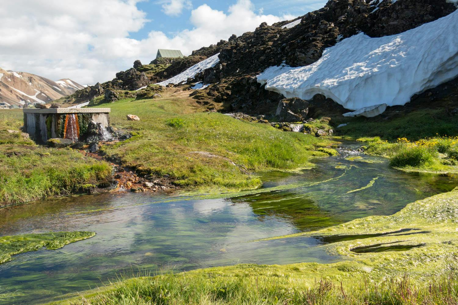
There are six huts and camping grounds along the trail. You can either choose to stay in the huts or camp in the campsite next to the huts. If you wish to stay in the huts, be sure to book these several months in advance. All huts have toilets and running water.
If you choose to camp in the designated campsites outside the huts, you will need to pay a camping fee of ISK 2,000 per night. It is prohibited to camp outside the designated areas.
Know Before You Go
Weather - The trail lies in the Icelandic Highlands, were the weather can be unpredictable and vary drastically. Snow in the middle of summer is not uncommon. Make sure you have the proper gear to deal with these types of conditions.
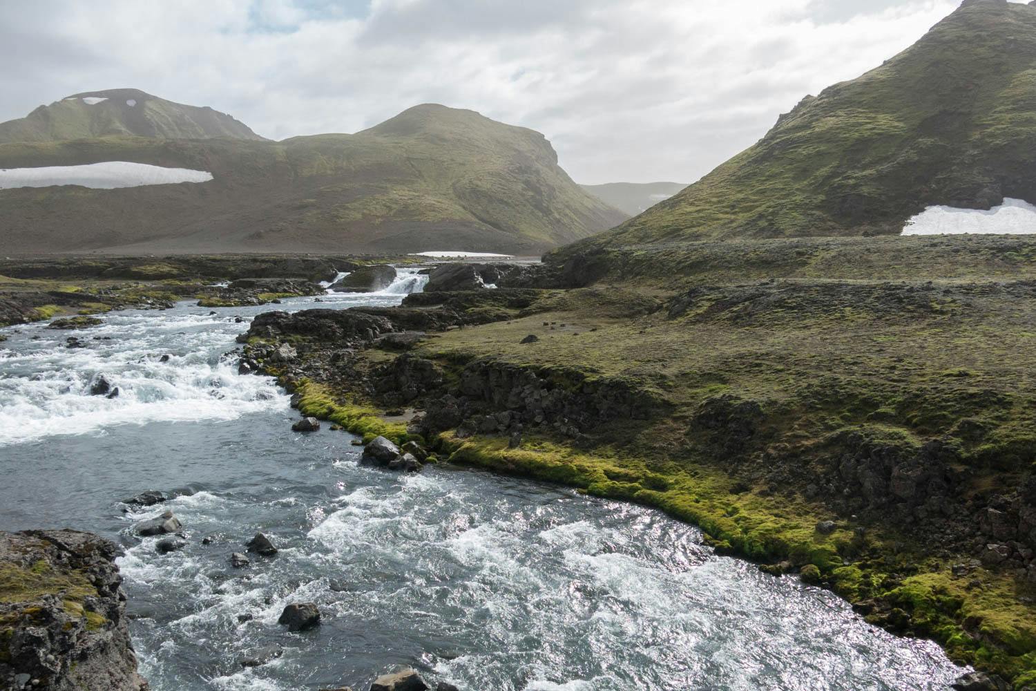
River crossings - While most rivers can be crossed by bridge, at least three rivers have to be waded. They are generally easy to cross, but the current can pick up very quickly in rain and ablation.
Links & Resources
Ferðafélag Íslands
•
Laugavegur Trail
•
Hut Reservations
Bus to Landmannalaugar
•
Trex
•
Sterna
•
Reykjavik Excursions
Icelandic Road Authority
•
Road Conditions